

Historically speaking, predicting and assessing the impact of a hailstorm has been one of the biggest obstacles for the insurance industry when looking to provide immediate support for those affected, especially in the US where hail events are typically more frequent and severe.
In the face of record-breaking losses caused by hail in 2023 and a trend since the turn of the millennium that suggests these figures will only keep rising, it is imperative that insurers have every tool at their disposal to ensure they have the necessary oversight of hail events if they are to keep their promises to policyholders.
The ever-increasing threat posed to US insurers by hail was the catalyst for MIS adding this peril to their GEO coverage at the start of 2023 in order to help accelerate response times to these events.
Although this technology is still new and developing all the time, it seems prudent to distill some insight into how MIS combines trusted data sources with precise calculations to provide insurers with a previously unseen depth of hail event coverage across the US.

Gathering the data
Since being introduced by Witt et al in 1998, Maximum Expected Hail Size (MEHS), which was subsequently renamed Maximum Estimated Size of Hail with the slightly catchier acronym MESH, has become the preeminent method for predicting damage levels caused by hail events.
By understanding the approximate size of hailstones falling on a given area for a specific amount of time, it is far easier to estimate the potential impact of a hailstorm relative to aspects such as population density, infrastructure, and number of properties.
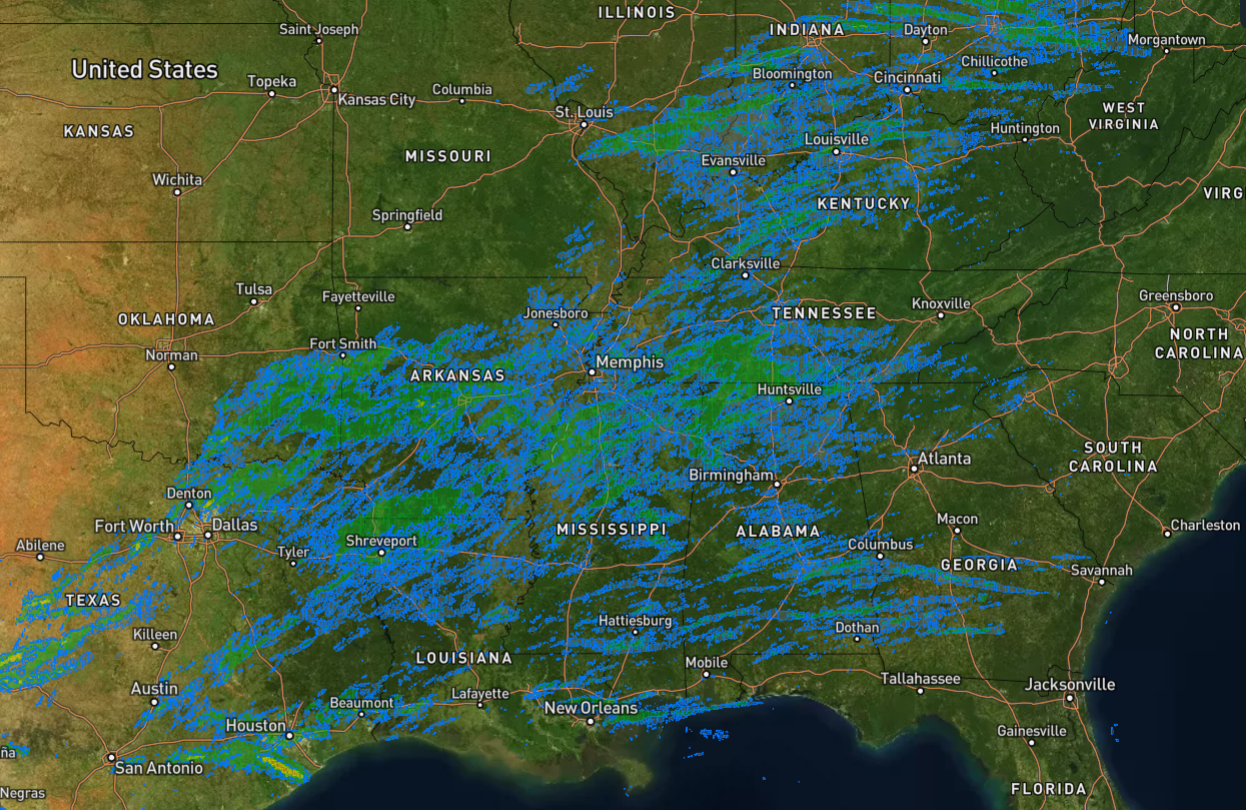
Every 2 minutes, multi-radar/multi-sensor (MRMS) data for MESH is collected by the National Oceanic and Atmospheric Administration (NOAA) at a 1km resolution, providing an overview of estimated hail sizes across any ongoing US hail events. This type of data can be utilised for both immediate event response and as historical information to help make future predictions and understand hail trends.
In addition to MESH data, Global Forecast System (GFS) data is collected by the National Center for Environmental Prediction (NECP) every 6 hours. This data is useful for providing additional context around the behaviours and potential impacts of a hailstorm.
Gathering and storing data is vital to MIS’ hail response process, which when combined with the unique calculations conducted by the Intelligence Team, enables the provision of detailed reports published on GEO in the immediate aftermath of a hail event occurring in the US.
Performing the calculations
Once the MIS team has all the required data surrounding the hail event, it is subject to a rigorous analysis and calculation process to determine the probable impact on the affected area. For every hail event, the initial damage potential is always categorised based on hail size, where larger hail of course correlates with a higher damage risk.
When MIS understands the potential damage incurred, the event is applied with a damage code between 1-5, where 1 is the lowest level of potential damage and 5 the maximum level. Identifying the track and duration of hail exposure in a given area further refines these damage assessments. Furthermore, the MIS team will use several calculations to determine whether the initial code should remain the same, move up a level, or move down a level.
Upon completion of these calculations, damage assessment reports are released on GEO in 1km x 1km grid formats which represent the level of hail damage over a 24-hour period. To provide additional information for clients, wind speed and direction data alongside daily mean calculations are appended to the grid. Additionally, block group level census data is overlaid on the grid, which is essential to calculating the total population number impacted by a hail event.
This approach has been rigorously tested against historical claims data for multiple events and has shown a very high correlation to actual damage and claims amounts.
MIS taking action
To ensure timely and efficient response, automated alerts notify the MIS Intelligence team of a significant hail event to conduct their systematic analysis. Typically, they will review an automatically generated report that uses the aforementioned calculations to share detail on the size of the hail, the time of exposure and the potential number of properties affected.
Once this report is assessed by the Intelligence team, they will decide if it reaches the level required to upload an in-depth report, then potential Exposure and Claims layers to GEO, as well as alerting clients to how their portfolios may be impacted.
Since launching the hail product, MIS have provided detailed reports and assessments of 11 major hail events in the US, where there has already been 3 in 2024 alone, with the Midwest, Southern US and Texas all affected by significant hailstorms in March as the Severe Convective Storm (SCS) peak season began.
To learn more about how to enhance your response to US hail events as the SCS season continues, make sure to request a demo or contact the MIS team today.